Upper Gauley Gorge - 15 km2 Real LiDAR Terrain (Summer + Autumn)
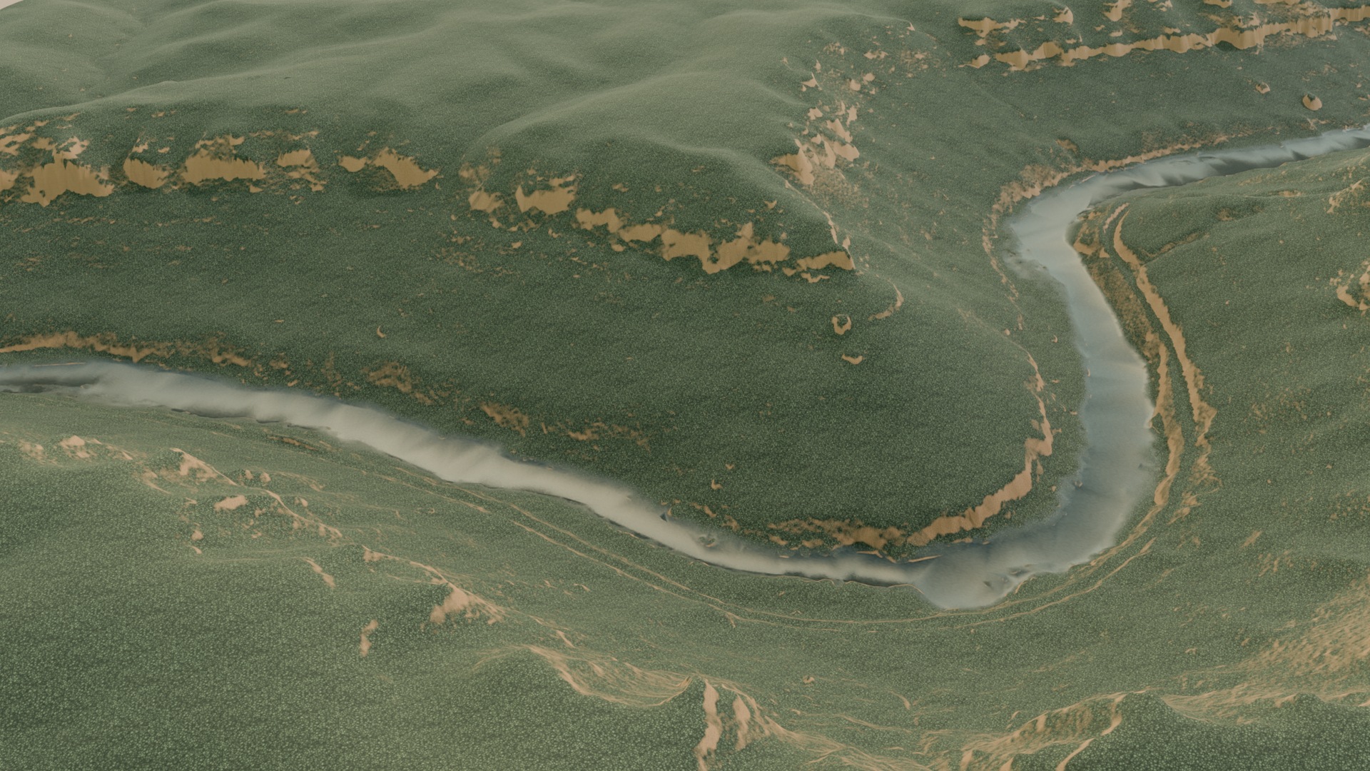
15 km2 of the Upper Gauley gorge, West Virginia, meshed from true native 1 m USGS 3DEP LiDAR - real landform at 1 unit = 1 metre, not noise-generated terrain. Ships in TWO SEASONS off ONE shared mesh (summer hardwood green and Gauley-Season autumn), so you can swap season without reloading terrain or disturbing anything already placed on it. Three LODs (200k / 80k / 20k tris), baked albedo+normal+roughness per season, a packed control map (slope / height-above-drainage / curvature / elevation), a 16-bit height map, the seamless tiling PBR source set, and a hydrologically derived river centerline - 141 stations, measured 3.43 mi and 38.1 ft/mile (American Whitewater publishes 36 for this reach). Built for aerial and mid-distance background terrain: the canopy is a procedural surface, not tree geometry, so scatter your own trees using the control map for hero-distance shots. glTF Y-up, metres. USGS 3DEP source is public domain; attribution line included.
5 GLB (200k / 79k / 19k / 200k / 200k tris) · 585 MB · LICENSE.txt: no
$39